
· MOTOYOL
Zigana Pass: bringing a real mountain road into a game
MOTOYOL's first route is the old mountain pass road from Trabzon to Gümüşhane. A short story of the way from the map to the ride.
We chose Zigana as the first route for a simple reason: the road feels as if it were made for riding. Bends winding through spruce forest, high pastures opening up near the pass and, when the weather allows, clouds filling the valleys below.
The route's skeleton comes from real data. We took the road's centre line from OpenStreetMap and the terrain height from SRTM satellite measurements. On top of that skeleton we redesigned the road for riding: the rhythm of the bends, the two-lane width of about 7 metres and the length of each stage. The result is not a one-to-one copy; it is a road that someone who knows Zigana would recognise, and one that rides smoothly on a phone.
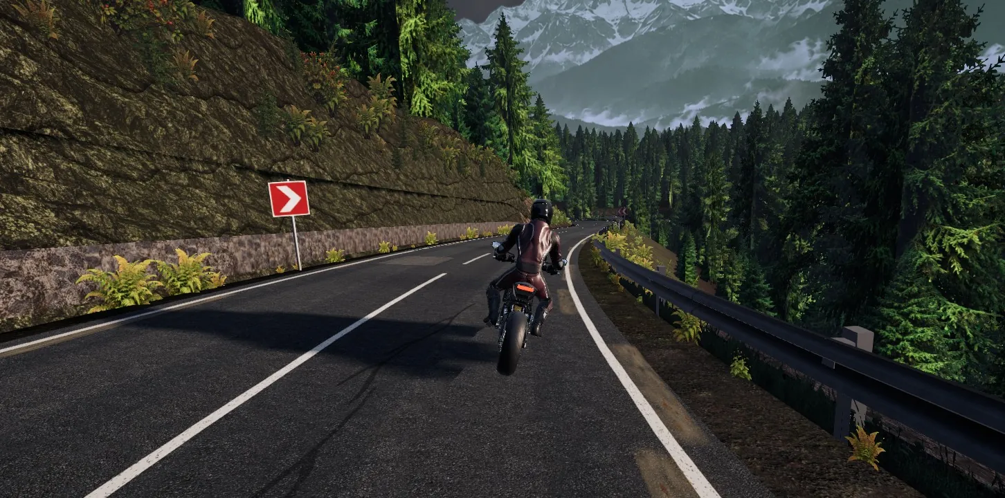
The route has five stages: Hamsiköy Forest, Zigana Pass, Çukuroba Serpentine, Plateau Descent and Zigana Village. The total length is 16.9 km and the highest point is 2,031 metres. Each stage is a race of its own; ridden one after another, they make a journey from the forest to the pass and from the pass down to the village.
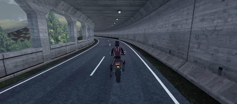
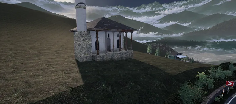
Along the way there are structures that tell you about the place itself. Near the pass, a concrete avalanche gallery protects the road from snow slides; at the pass, a small stone-based mosque sits on the slope with two tea houses beside it. All of them are places you ride past, places that change the rhythm of the road.
Zigana is the first route. The next ones will be made the same way: data from a real place and a road designed for riding.
Map data © OpenStreetMap contributors (ODbL). Elevation data: SRTM (NASA).